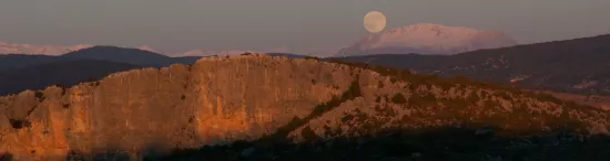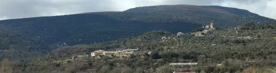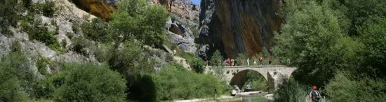

The Vero flows from the north to the south, running through the far east of the Sierra de Guara Natural Park. Over nine kilometres, it separates the villages of Lecina and Alquézar, its waters flow through deep and spectacular gorges and ravines.
65,000 millions years ago, during the orogenic process, the calcareous materials accumulated on the seabed folding and rising, resulting in the pre-Pyrenean sierras. These mountains began to be eroded by the waterways.
During the last 15,000 millions years, the surface waters have become embedded in the rocky substratum, creating the current network of gorges and canyons.
The combined effect of different erosive agents, explains the existence of hundreds of cavities that exist in the walls of the Vero canyon. In addition, the water exerts a constant erosion on the base of the mountain, resulting in chasms, tunnels and cavities through which the rainwater flows and reaches the surface area through emergences, such as the Fuente de Lecina. Through the course of the river some amazing formations have been created, such as the intersection of the Basender and Choca canyons, the Queso Shelter, los Oscuros and las Clusas.