{rioveromap-castillazuelo}
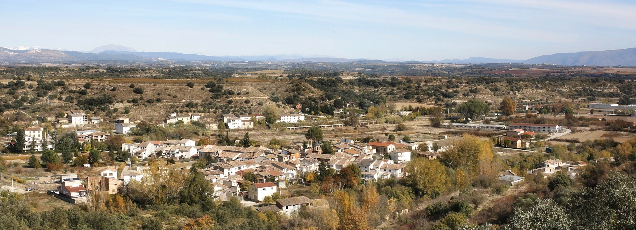
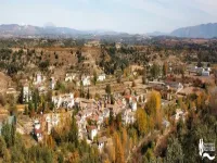
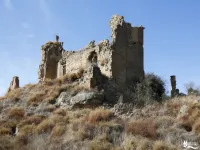
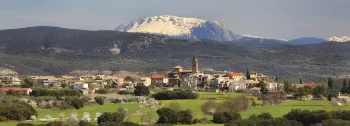
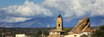
The original part of the village is found on the right side of the river and on the rocky headland, where the remains old Medieval castle still exist, and which gives the village its name.
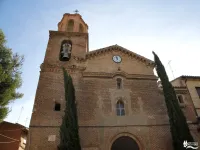
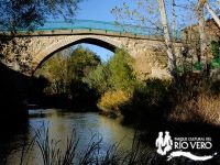
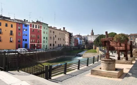
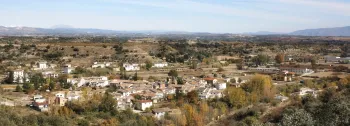
The first centre of the settlement started underneath the stronghold, progressively occupying the mountain slopes until it reached the riverbanks. It was in the 16th century, when the construction of a new settlement was authorised on the left side of the river, which followed an ordered and regular town planning structure. The new constructions were built around two perpendicular streets that converge on the central square, where the building of the parish church of San Salvador was built in the 18th century. The union of both neighbourhoods was possible thanks to the bridge over the river, which is of Medieval origin, has one arch and was recently restored.
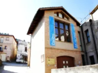
Adjacent to the bridge you will find the “Centro de Interpretación del Río Vero” (The Interpretation Centre of the Vero River), which showcases the rich variety of uses, constructions and ecosystems linked to the river.
The surrounding area has important hydraulic monuments, such as the Aqueduct of ra Canal (16th century).
